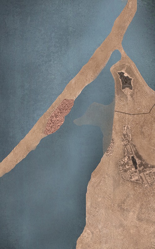
The 1862 plan shows the Baixa’s [city centre] inner voids starting to become occupied. The plan is the first to point out various musseques [informal settlements, originally the term means red sand in kimbundo], indicating the names of the respective land owners, families from Luanda. From this time on, the term musseque would become a specific characteristic of the city.
In 1864, a smallpox outbreak lead to clearing out the areas in which the illness would most easily spread. The city’s authorities razed the Coqueiros neighbourhood, relocating its residents to Ingombota and Maculusso. The eviction had an ethnic undertone: since slavery had been abolished (1836), settlers no longer had any interest in living close to the native Africans. The city centre was reserved for dominant classes, who realized Luanda was becoming a city for permanent living, therefore a place worth investing in.
A new connection was created, linking Coqueiros to Praia do Bispo by furrowing Rua José Pedro Tuca through Morro de S. Paulo, in order to lessen the effects of the plague. A bridge was built to connect the fortress to the administrative centre.
[Luanda Plan, 1936]
In the Alta, the tower of a former church became the city’s Observatório Metereológico [Meteorological Observatory]. The 1893 plan proves that the Observatório was considered one of Luanda’s landmarks, a highlight along with Chicala.
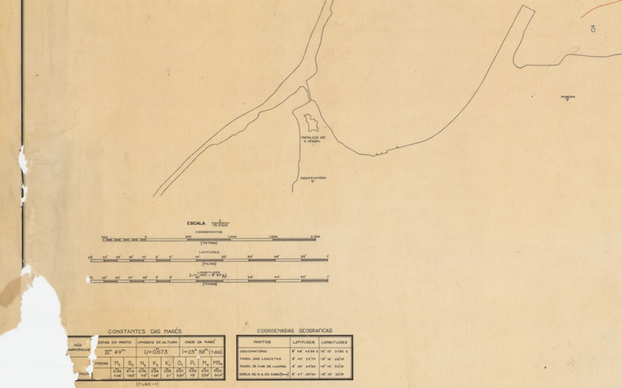
Luanda, estudo de correntes efectuado pela Missão Hidrográfica de Angola e S. Tomé, 1955. Arquivo IICT.
“Observatório”. Luanda, estudo de correntes efectuado pela Missão Hidrográfica de Angola e S. Tomé, 1955. Arquivo IICT.